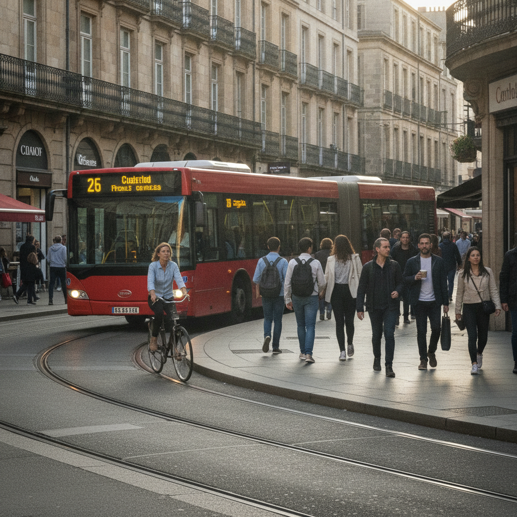
Most travelers arrive in a new city and immediately reach for the tourist map, the landmark list, or the ride-share app. What they skip — almost universally — is the ordinary infrastructure that moves the actual residents of that city from one part of their lives to another every single day. A city's busiest weekday bus route is one of the most revealing documents a destination can offer, and it costs nothing to read if you know where to look.
Why Does a Bus Route Reveal More Than a Guidebook?
A weekday bus route — particularly the one carrying the highest ridership — traces the real connective tissue of urban life. It links the neighborhoods where people sleep to the places where they work, shop, and study. Unlike tourist circuits, which are designed to showcase, a commuter bus route is designed to function. That distinction matters more than it might first seem. When you ride a route that thousands of residents depend on daily, you move through the city the way the city actually moves, not the way it performs for visitors.
The stops along a high-ridership weekday route often reveal which neighborhoods are genuinely active versus which ones exist primarily as backdrops for photographs. You'll pass local pharmacies, hardware stores, school gates, and corner markets — the infrastructure of ordinary life that gives you a working mental model of the city before you've even had a proper meal there.
How Do You Find This Information Before You Leave Home?
The research takes less than an hour and can be done from your kitchen table. Google Maps has made this remarkably accessible — by switching to transit mode and examining the routes marked with the most frequent service intervals, you can usually identify which lines carry the heaviest load. Frequent service, indicated by buses running every five to ten minutes during morning hours, is a reliable proxy for high ridership.
Citymapper is another strong tool for this kind of pre-trip reconnaissance, particularly for cities across Europe, Asia, and major North American metros. It displays transit networks in a clean, readable format and often highlights key corridors by their busyness. For cities in Latin America, Southeast Asia, and parts of Africa where major app coverage is thinner, checking the local transit authority's own website — most publish ridership or route maps — fills the gap. A quick search for the city name plus "busiest bus route" or "main bus corridor" in the local language often surfaces transit forums and local news articles that are surprisingly specific.
What Should You Actually Do With This Information?
Once you've identified the route, build one morning or late afternoon ride into your first or second day. Timing matters here. A weekday morning ride between roughly seven and nine captures the city at its most functional — people heading to work, students boarding near schools, market vendors unloading. An early evening ride between five and seven shows the reverse flow, which has its own character. Avoid midday if your goal is observation rather than convenience, since off-peak hours empty the buses and flatten the social texture that makes the ride worthwhile.
Ride the route end to end at least once without a plan to get off at any particular stop. Let the route show you what it wants to show you. You may find a neighborhood you'll return to for lunch, a street market you wouldn't have known to search for, or simply a sense of proportion — how big the city actually feels from the inside rather than how it looks on a map.
How Does This Change the Way You Use the Rest of Your Time?
The ground-level view you get from a single well-chosen bus ride recalibrates your instincts for everything that follows. You start to understand which areas feel lived-in and which are primarily commercial. You notice where the density shifts, where the storefronts change character, and where people seem to be in a hurry versus where they linger. That spatial literacy changes how you make decisions about where to eat, where to walk, and which neighborhoods are worth returning to at different times of day.
Transit apps like Moovit, which is particularly strong in the Middle East, Southern Europe, and across Africa, can help you cross-reference your chosen route against real-time usage patterns once you're on the ground. This is useful for adjusting your timing on subsequent rides, since ridership patterns shift depending on the day of the week and local school or market schedules.
Why Is Weekday Timing the Critical Variable?
Weekend bus service in most cities operates on a reduced schedule and attracts a different mix of riders — leisure trips, family outings, less of the daily commute flow that defines how the city actually functions. If you arrive on a Friday evening and plan to do this ride on Saturday morning, you'll get a quieter, less representative picture. Whenever possible, schedule your exploratory ride on a Tuesday, Wednesday, or Thursday, when service is at full weekday frequency and the ridership reflects the city's working rhythm most accurately.
This timing principle extends beyond the bus itself. The neighborhoods you pass through look and feel different on a Wednesday morning than on a Sunday afternoon. Shops are open that would otherwise be closed, workers are present that would otherwise be elsewhere, and the overall energy reflects the city's functional baseline rather than its recreational face.
What Does This Habit Produce Over Multiple Trips?
Travelers who make this a consistent practice across different destinations start to develop a kind of comparative literacy about cities. You begin to notice how transit density reflects economic geography, how the character of a bus's busiest stretch differs between a port city and an inland capital, and how the physical condition of buses and stops tells you something honest about municipal investment. None of this requires any formal knowledge — it accumulates naturally through attention and repetition.
Over time, this habit also makes you a more efficient traveler. Because you've oriented yourself through the city's own logic rather than a tourist overlay, you waste less time reorienting after wrong turns and spend more time in places that feel genuinely worth being in. The bus route becomes a kind of calibration tool, and once calibrated, your instincts for the city sharpen quickly.
As real-time transit data becomes more granular and accessible through platforms like Google Maps and Citymapper, the ability to identify and analyze a destination's transit patterns before arrival will only improve. The data is already rich enough to make this a practical pre-trip habit — and the cities that benefit most from this kind of informed, ground-level attention are exactly the ones that reward curious travelers most generously. If you're planning a trip in the coming months, spending thirty minutes with a transit map before you pack might quietly become the most useful research you do.